What Is the Carretera Austral and Why Does It Take More Than a Week?
By Southwind Experience — Local Travel Specialists based in El Calafate, Patagonia
The Carretera Austral is a 1,240-kilometer highway through Chilean Patagonia that cannot be rushed. Not because of the distances alone — though they are considerable — but because the route involves mandatory ferry crossings on fixed schedules, long stretches of gravel road that limit driving speed, and destinations that genuinely deserve more than a single afternoon. Seven days is the absolute minimum to experience a meaningful section of the route. Ten to fourteen days covers the highlights properly. The full route, south to north or north to south, takes closer to three weeks.
Here is what the Carretera Austral actually is, how it's structured, and why the planning logic is different from almost any other road trip in the world.
What the Carretera Austral Is — and Isn't
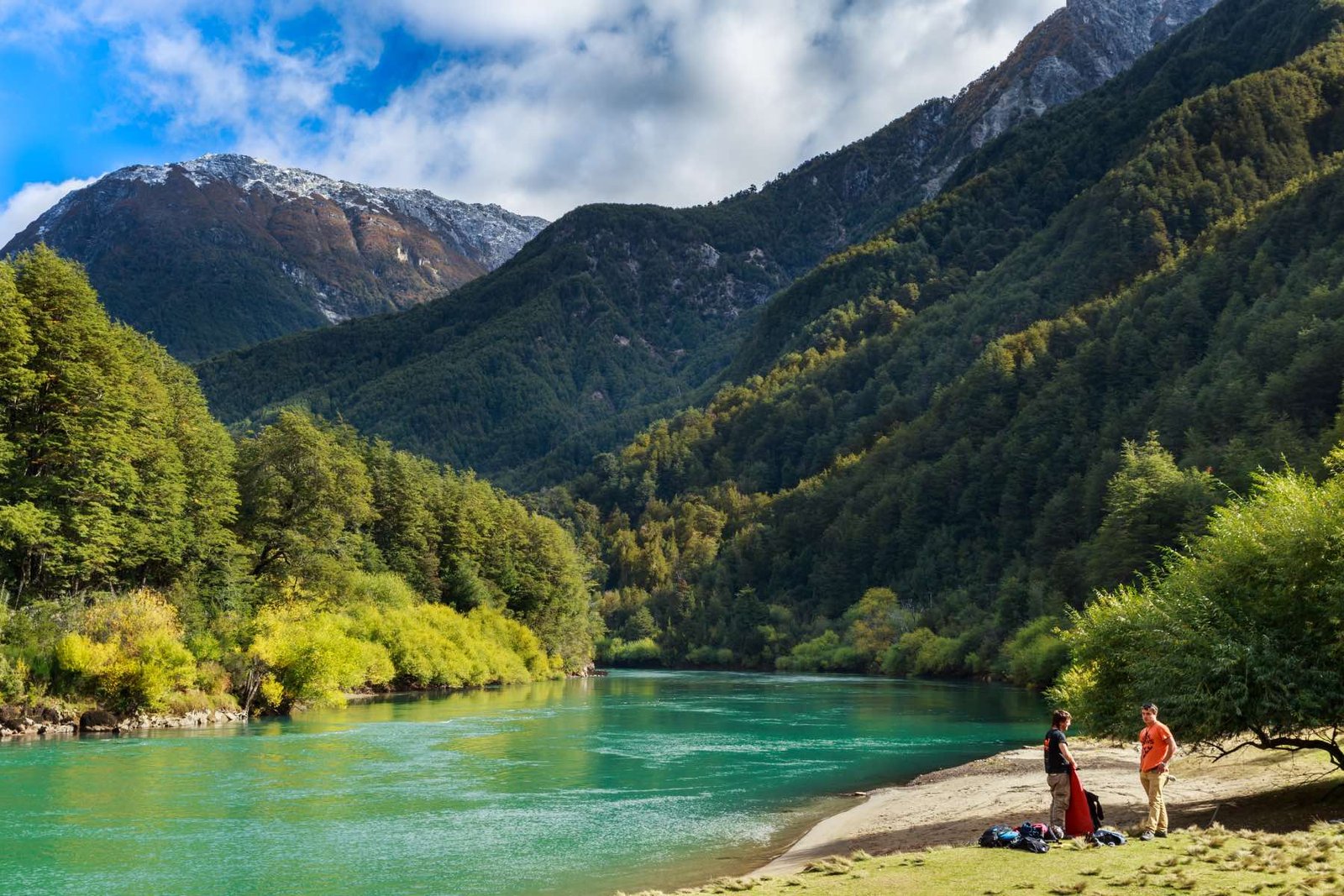
The Carretera Austral (officially Ruta 7) is the main road connecting the Chilean regions of Los Lagos and Aysén — a vast territory of fjords, glaciers, ancient forest, and rivers that has no continuous road connection to the rest of Chile.
That last point is important: the Carretera Austral is not a loop. It is a linear route that begins near Puerto Montt in the north and ends at Villa O'Higgins in the south, with no road connection beyond that point. The southern tip of the route has no paved access to Torres del Paine or Punta Arenas. Getting back after driving the full route means retracing the road, crossing into Argentina, or taking a small aircraft from Cochrane or Villa O'Higgins.
It is also not fully paved. Approximately half of the route is gravel (ripio) — in some sections, well-maintained; in others, corrugated and demanding. Speed on gravel rarely exceeds 50 to 60 km/h, which means that 200 kilometers of driving can take a full day rather than two to three hours on paved road.
Understanding these two facts — no loop, and slow going on gravel — changes how you plan the entire trip.
The Three Sections and What Each One Offers
Northern Section — Puerto Montt to Chaitén (approximately 360 km)
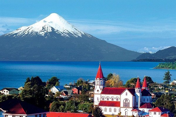
This section includes two mandatory ferry crossings that cannot be avoided regardless of how you're traveling: the crossing from La Arena to Caleta Puelche across the Reloncaví Fjord, and the longer crossing from Hornopirén to Leptepu (and onward to Caleta Gonzalo) that crosses the Gulf of Ancud into the Pumalín territory.
The northern section is the most logistically complex of the three — ferry schedules are fixed, seasonal, and have limited capacity. Arriving at Hornopirén without a confirmed crossing reservation during peak season means waiting a day or more for the next available slot.
The main destination in this section is Pumalín Douglas Tompkins National Park, which protects one of the largest temperate rainforests in the world. The park's ancient alerce trees — some more than 3,000 years old — are accessible on trails that require a full day to reach the oldest specimens. The landscape here is dense, green, and completely different from the steppe and granite further south.
Realistic time needed: 3 to 4 days minimum to enter the area properly, see the park, and continue south without feeling rushed.
Central Section — Chaitén to Cochrane (approximately 600 km)
This is the most concentrated section in terms of highlights per kilometer, and the one that most visitors prioritize when time is limited. It includes:
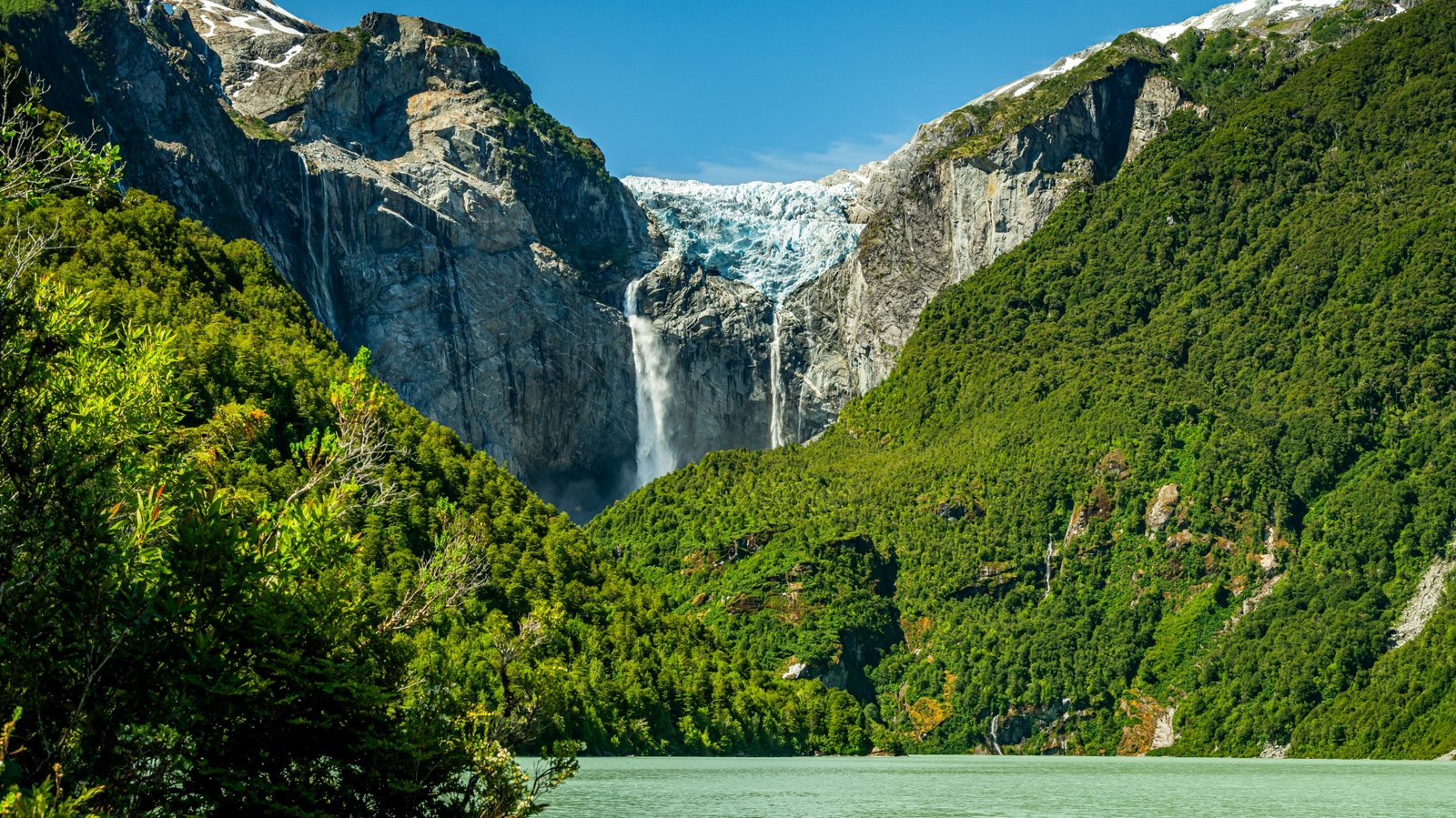
Queulat National Park and the Ventisquero Colgante — the Hanging Glacier, suspended between two cliffs with waterfalls cascading below it. The viewing point is accessible via a 3 km trail that takes approximately 90 minutes round trip. The glacier hangs visibly above even from the road, but the trail viewpoint delivers a completely different perspective.
Coyhaique — the regional capital of Aysén and the largest town on the route. It serves as a practical base for resupplying, vehicle maintenance, and organizing onward logistics. Coyhaique has the best infrastructure on the Carretera for travelers who need a day of rest or preparation before continuing.
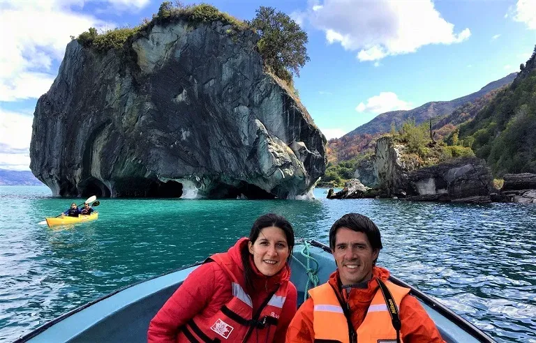
The Marble Cathedrals on General Carrera Lake — accessible by boat from Puerto Río Tranquilo, these marble caverns sculpted by wave action into the shoreline are one of the most visually striking geological formations in South America. The turquoise color of the lake water reflects inside the caverns in a way that changes completely with the morning light. Afternoon visits deliver a different, flatter quality of light.
Cerro Castillo National Park — a trekking destination that has emerged as the Carretera Austral's answer to Torres del Paine, with a fraction of the visitors. The trail to Laguna Cerro Castillo (12 km, approximately 1,000m elevation gain) delivers a volcanic granite formation above a glacial lagoon that rivals the towers in visual drama.
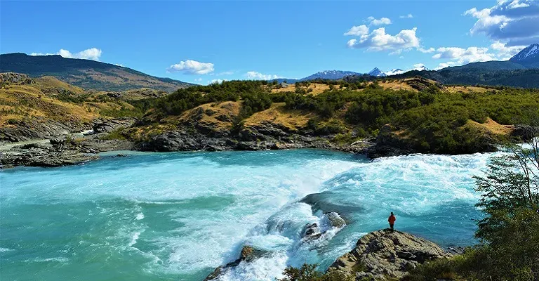
The Baker River and Cochrane — the Baker is Chile's largest river by volume. The stretch near the Neff River confluence, where two different-colored waters meet without mixing, is one of the most photographed natural features of the route. Cochrane is the last significant town before the southern section.
Caleta Tortel — a village built entirely on wooden boardwalks over a fjord, with no cars and no paved streets. It is one of the most genuinely unusual settlements in Patagonia — a place that requires at least one night to experience properly, not a two-hour stop.
Realistic time needed: 6 to 8 days to cover this section with enough time at each destination to justify the effort of getting there.
Southern Section — Cochrane to Villa O'Higgins (approximately 280 km)
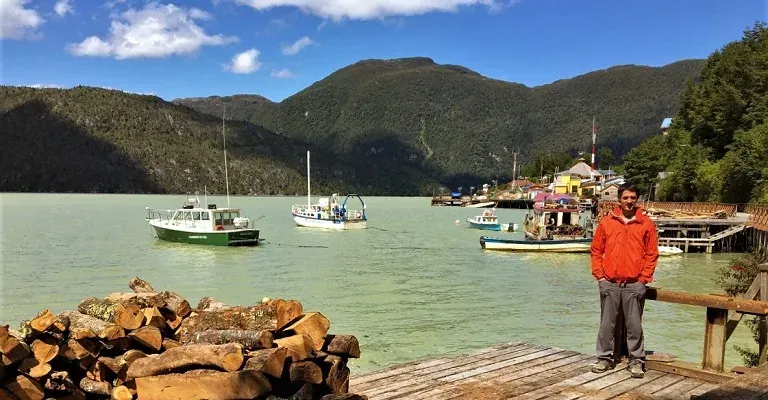
This is the most remote section of the Carretera and the one that sees the fewest travelers. The road here is largely gravel, the infrastructure is minimal, and the distances between services are significant.
The reward is complete solitude. The landscape south of Cochrane shifts into open steppe and high valley terrain with views toward the Southern Patagonian Ice Field. The Río Bravo and the Lago Cochrane area offer fly fishing that ranks among the best in Patagonia.
Villa O'Higgins at the southern end of the route is more than a destination — it's a statement of intent. Getting there means you've committed to the full route, and continuing south requires either backtracking to Argentina via a border crossing and boat journey, or ending the trip there.
Realistic time needed: 3 to 4 days for this section, understanding that the experience is about remoteness and solitude rather than concentrated highlights.
The Ferries: The Variable That Controls Everything
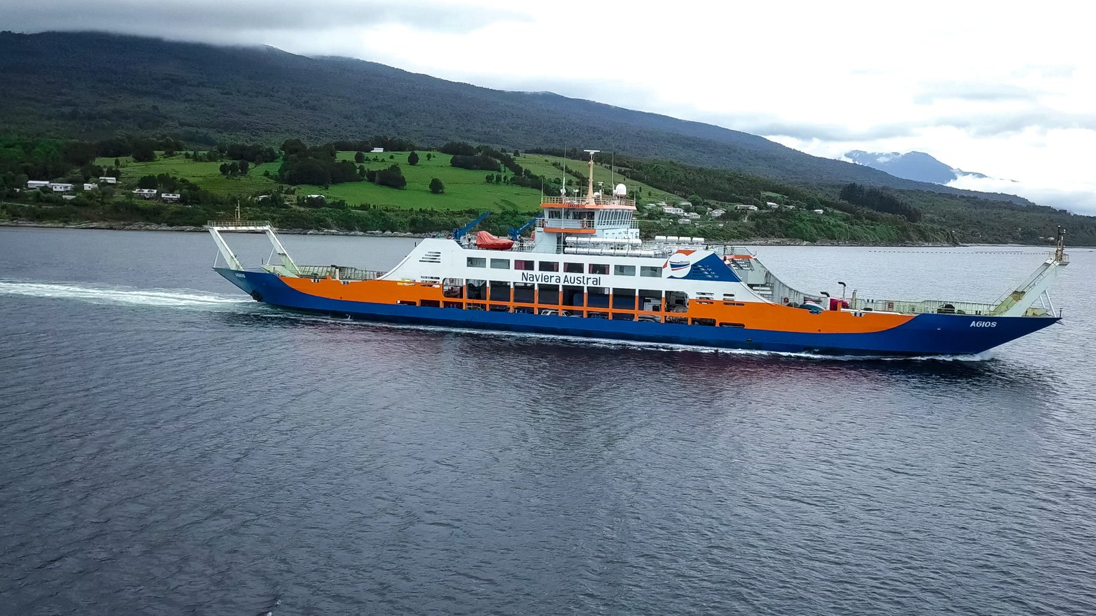 The single most important planning factor on the Carretera Austral is not accommodation or itinerary structure — it is the ferries.
There are four major crossings on the full route:
La Arena → Caleta Puelche (Reloncaví Fjord, northern section) — multiple departures daily, relatively straightforward
Hornopirén → Caleta Gonzalo (Gulf of Ancud, northern section) — operates only in summer season, limited capacity, must be reserved in advance
Chaitén → Quellón/Chiloé (if connecting north via Chiloé) — regular service but advance booking recommended in peak season
Puerto Ibáñez → Chile Chico (General Carrera Lake, central section) — used by travelers entering or exiting the Carretera from the Argentine side at Los Antiguos
Missing a ferry on the Carretera Austral is not a minor inconvenience. It means a full day lost waiting for the next available crossing — which in high season on the Hornopirén route can be two days. Every itinerary on the route must be built around confirmed ferry reservations, not the other way around.
This is the primary reason why independent planning of the full route is genuinely complex, and why the Carretera Austral specifically benefits from advance coordination that most other road trips in South America don't require.
Entry Points: How to Start the Route
From Puerto Montt (Northern Entry)
The most common starting point for travelers approaching from Santiago or the Chilean Lake District. Allows the full route to be driven south to north or north to south. Requires the Hornopirén ferry — book this first.
From Balmaceda Airport (Central Entry)
Flying into Balmaceda (near Coyhaique) is the most practical entry point for travelers who want the central section's highlights without the northern ferry logistics. Balmaceda has regular connections from Santiago and is the starting point for the 6-day and 11-day Carretera Austral itineraries in our catalog.
From Los Antiguos, Argentina (Eastern Entry via Paso Jeinimeni)
The most underused entry point — crossing from Argentina at Los Antiguos into Chile Chico on the southern shore of General Carrera Lake. This is the natural entry for travelers who've been exploring Patagonia from the Argentine side (El Calafate, El Chaltén) and want to transition into the Carretera Austral without flying back to Santiago. The crossing involves the Chile Chico ferry across the lake to Puerto Ibáñez, then continues north or south on the route.
Self-Drive vs. Guided: Why the Carretera Is Different
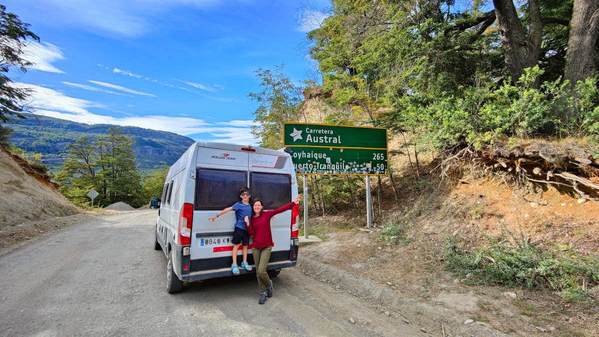
The Carretera Austral is one of the few destinations in Patagonia where the self-drive vs. guided decision carries meaningful practical consequences — not just comfort preferences.
The case for a private guided itinerary:
Ferry reservations require advance coordination in Spanish and knowledge of seasonal schedules that change year to year
Gravel road navigation requires local knowledge of current conditions — sections that are passable in November can be significantly worse after February rains
Accommodation on the route is limited and requires advance booking; gaps in the chain can leave travelers without options in sections with no alternatives
Private reserves like Estancia Los Huemules (Cagliero Glacier) require coordination that cannot be done on the day of arrival
A support vehicle and local driver removes the fatigue of navigating an unfamiliar road in challenging conditions
The case for self-drive:
Maximum flexibility to stop, extend time at a location, or adapt to weather
Lower cost for experienced travelers comfortable with route navigation and remote driving
Works well for the central section from Balmaceda southward, where the road infrastructure is most developed
The honest assessment: the northern section with its ferry logistics is significantly more stressful to self-drive than the central section. Many travelers choose to fly into Balmaceda for this reason — not because the north isn't worth seeing, but because the logistics-to-experience ratio favors the central section for shorter trips.
How the Carretera Austral Fits in a Broader Patagonia Circuit
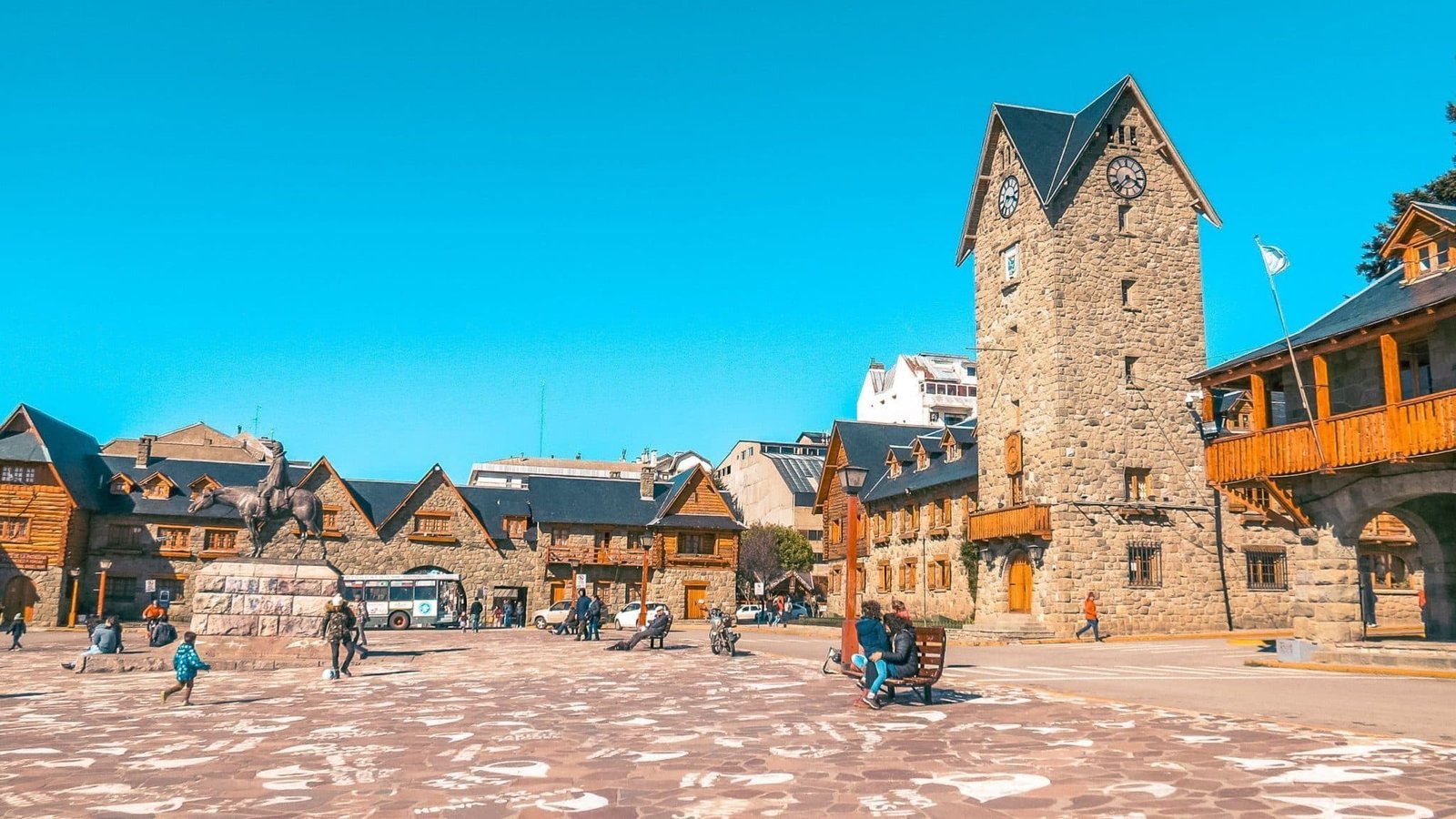
The Carretera Austral connects naturally to the Lake District to the north (Bariloche, Chiloé) and to Argentine Patagonia to the east (El Calafate via Los Antiguos). It does not connect by road to Torres del Paine in the south — that requires either flying or crossing back into Argentina.
A circuit that combines Bariloche (lake crossing from Argentina), Chiloé, and the Carretera Austral from the north is one of the most complete explorations of northern Patagonia available. A circuit that enters from Los Antiguos after El Chaltén and El Calafate and exits via Balmaceda is the most natural way to integrate the route into a broader Argentina-Chile itinerary without backtracking.
The Bottom Line
The Carretera Austral is not a road trip in the conventional sense. It is a journey through one of the least-visited and most geographically complex regions in South America, where the logistics — ferries, gravel roads, limited services, fixed crossing schedules — are themselves part of the experience.
Seven days gives you a meaningful slice of the central section. Fourteen days gives you the route properly. Three weeks gives you everything. Whatever the timeframe, the planning starts with the ferries, not the destinations.
Southwind Experience designs private Carretera Austral itineraries ranging from 6 to 15 days, coordinating all ferry crossings, accommodation, and private guides from our base in El Calafate. We can connect the route to Argentine Patagonia via the Los Antiguos crossing for travelers who want both countries in a single circuit.
Explore our Carretera Austral itineraries →