How Far Is Everything in Patagonia? Distances and Transfer Times You Need to Know
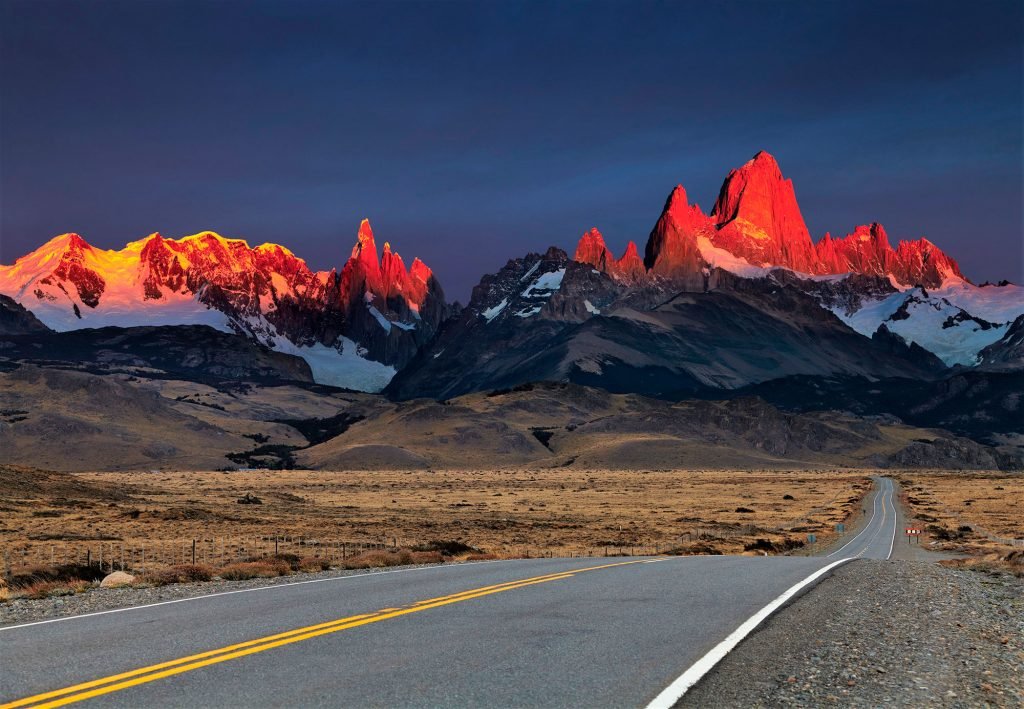
El Calafate to El Chaltén is a 215 km, roughly 3-hour drive on paved road. El Calafate to Puerto Natales (the gateway to Torres del Paine) is 265 km but takes 5 to 6 hours, because it crosses an international border. El Calafate to Ushuaia or Bariloche, meanwhile, is not a drive at all in practical terms — both connect by a short domestic flight, even though they look close to El Calafate on a map of Argentina.
That gap between map distance and real travel time is the single biggest planning error for first-time visitors to the region.
Why Patagonia's map is misleading
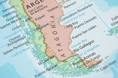
Patagonia covers an area comparable to the western half of continental Europe, split across two countries with a mountain range running down the middle. A map at country scale compresses that distance, so two towns that appear a thumb's-width apart can be a full day's travel from each other.
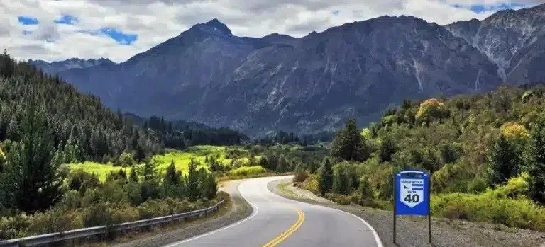
The region also has no railway and only a handful of paved highways. Ruta 40, the main north-south artery, runs through hundreds of kilometers of steppe with long stretches with no fuel or cellphone reception. Distances that would be a short regional flight in Europe or the northeastern US become a multi-day drive here.
The routes travelers actually ask about
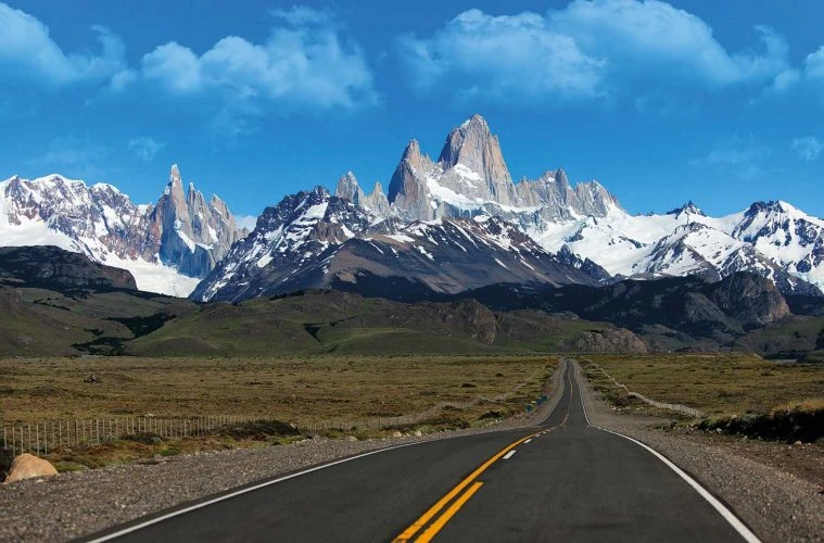
El Calafate ↔ El Chaltén (Fitz Roy area). These two towns sit inside the same Argentine province, connected by a 215 km paved road (Route 40, then Route 23). The drive takes about 3 hours with no border to cross. This is the one route in the catalog short enough to treat as a same-day connection.
El Calafate ↔ Puerto Natales / Torres del Paine (Chile). The road distance is about 265 km, but the trip runs 5 to 6 hours because it crosses from Argentina into Chile at the Cancha Carrera–Cerro Castillo border post. The crossing itself typically adds an hour or more in high season, on top of driving time. This is the one crossing on the itinerary map that looks short but isn't.
El Calafate ↔ Ushuaia. In a straight line, these two are only 566 km apart — closer than El Calafate is to Bariloche. But there is no efficient overland route: a road trip involves a ferry crossing of the Strait of Magellan and two additional border crossings, and runs upward of 12 hours. Every itinerary that connects them does it by domestic flight, about 1 hour 20 minutes in the air. Flight frequency on this route drops outside peak season, so travelers who want to see both Ushuaia and El Calafate should confirm dates against the flight calendar before locking an itinerary.
El Calafate ↔ Bariloche. This is the pairing that surprises people most. Both are "Patagonia," both appear on the same regional map, and travelers often assume a road connects them directly. The road distance is over 1,000 km of mostly remote, partly unpaved route, translating to 17+ hours of driving — not something built into a vacation itinerary. The realistic option is a flight of about 1 hour 45 minutes, and it isn't always daily; service is lighter in the off-season.
El Calafate ↔ Buenos Aires. Most international travelers land in Buenos Aires and connect onward. That connection is 2,065 km, a domestic flight of roughly 3 hours 20 minutes — the anchor flight around which most Patagonia itineraries are built.
The variable that changes everything: the border, not the road
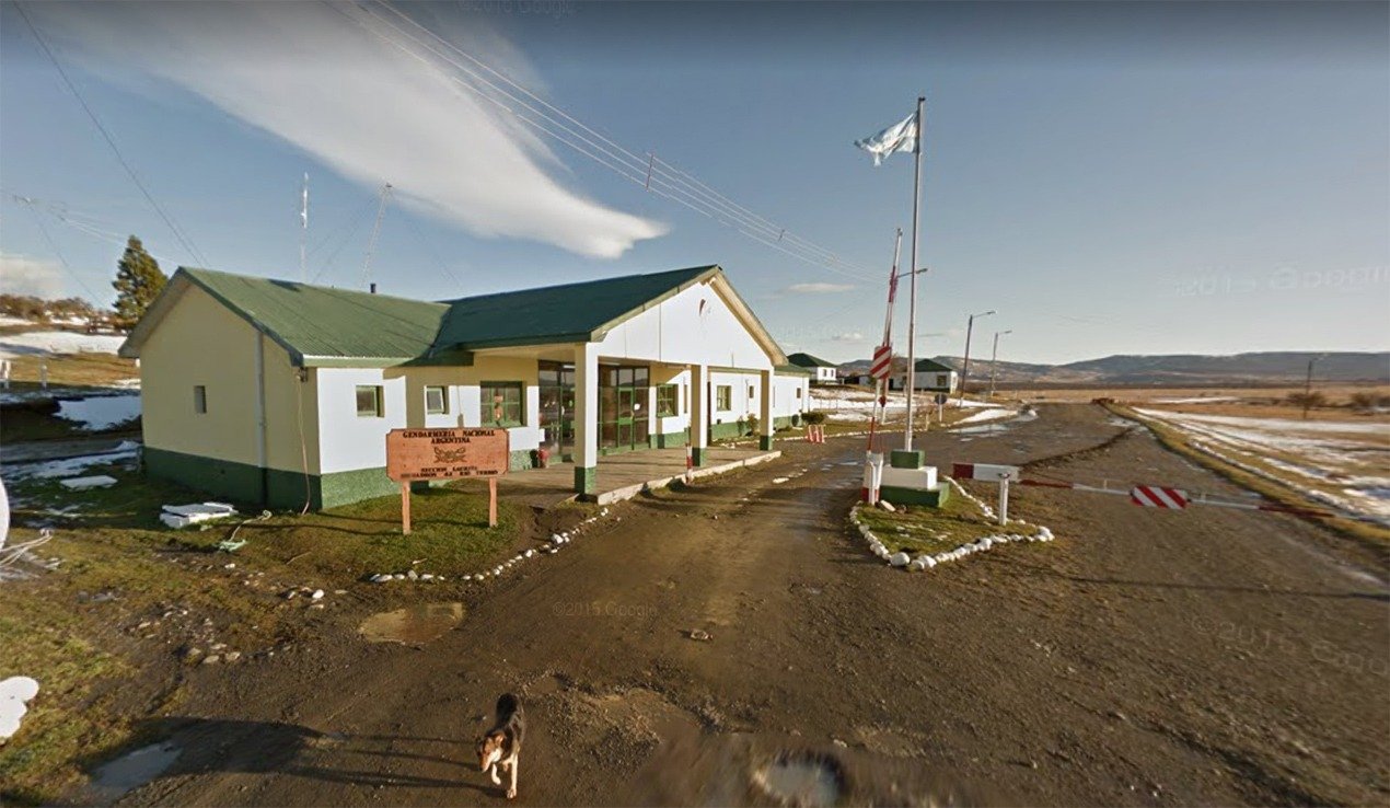
On the El Calafate–Torres del Paine route, the road itself is not the constraint — the border post is. The Cancha Carrera crossing keeps fixed hours: roughly 8:00 AM to 9:00 PM in summer and 8:00 AM to 8:00 PM in winter, and it can close temporarily during severe weather. A departure planned too late in the day, especially after a full excursion to Perito Moreno Glacier, can leave a group racing the closing time rather than enjoying the drive. This is one of the details a route only reveals once you've actually planned it several dozen times, not something a distance calculator shows.
Chile's agricultural authority (SAG) also inspects all luggage at this crossing and prohibits fresh fruit, meat, and dairy entering the country — a source of confiscated snacks and, occasionally, fines for travelers who didn't know to finish their food beforehand.
Patagonia Distances & Real Travel Times Master Table
To help you plan an efficient, well-paced journey, the table below outlines exact metric distances, primary transit modes, and actual door-to-door travel times for Patagonia’s major travel corridors using private chauffeured transfers and direct flights:
Departure Point | Destination Point | Distance (km) | Primary Transit Mode | Real Door-to-Door Travel Time |
El Calafate | Perito Moreno Glacier | 78 km | Private Chauffeured Transfer | 1 hour 15 minutes |
El Calafate | El Chaltén | 220 km | Private Chauffeured Transfer | 2 hours 30 minutes to 3 hours |
El Calafate | Torres del Paine National Park | 280 km | Private Cross-Border Transfer | 3 hours to 3 hours 30 minutes (incl. border) |
El Calafate | Puerto Natales | 280 km | Private Cross-Border Transfer | 4 hours to 4 hours 30 minutes (incl. border) |
Puerto Natales | Torres del Paine (Laguna Amarga) | 80 km | Private Chauffeured Transfer | 1 hour 15 minutes |
Puerto Natales | Torres del Paine (Serrano Sector) | 112 km | Private Chauffeured Transfer | 1 hour 45 minutes |
Punta Arenas | Puerto Natales | 226 km | Private Chauffeured Transfer | 3 hours |
El Calafate | Ushuaia | 880 km (road) | Direct Domestic Flight (FTE-USH) | 1 hour 15 minutes (Flight) vs. 12–14 hours (Road) |
El Calafate | Bariloche | 1,400 km (road) | Direct Domestic Flight (FTE-BRC) | 1 hour 45 minutes (Flight) vs. 20+ hours (Road) |
Santiago | Calama (Atacama Gateway) | 1,230 km (air) | Direct Domestic Flight (SCL-CJC) | 2 hours 10 minutes (Flight) |
The Bottom Line
Within a single Argentine province, like El Calafate to El Chaltén, distances behave the way they look on a map: 215 km is a 3-hour drive. The moment an itinerary crosses into Chile, adds a border, or spans two ends of Patagonia — El Calafate to Ushuaia, or El Calafate to Bariloche — the map stops being a useful guide, and flight schedules become the real constraint. The routes that look shortest on paper, like El Calafate to Puerto Natales, are often the ones with the most moving variables once a border post is involved.
Southwind Experience builds private Patagonia itineraries from our base in El Calafate, sequencing border crossings, flight connections, and driving days so the distances above never turn into a scheduling problem on the ground.